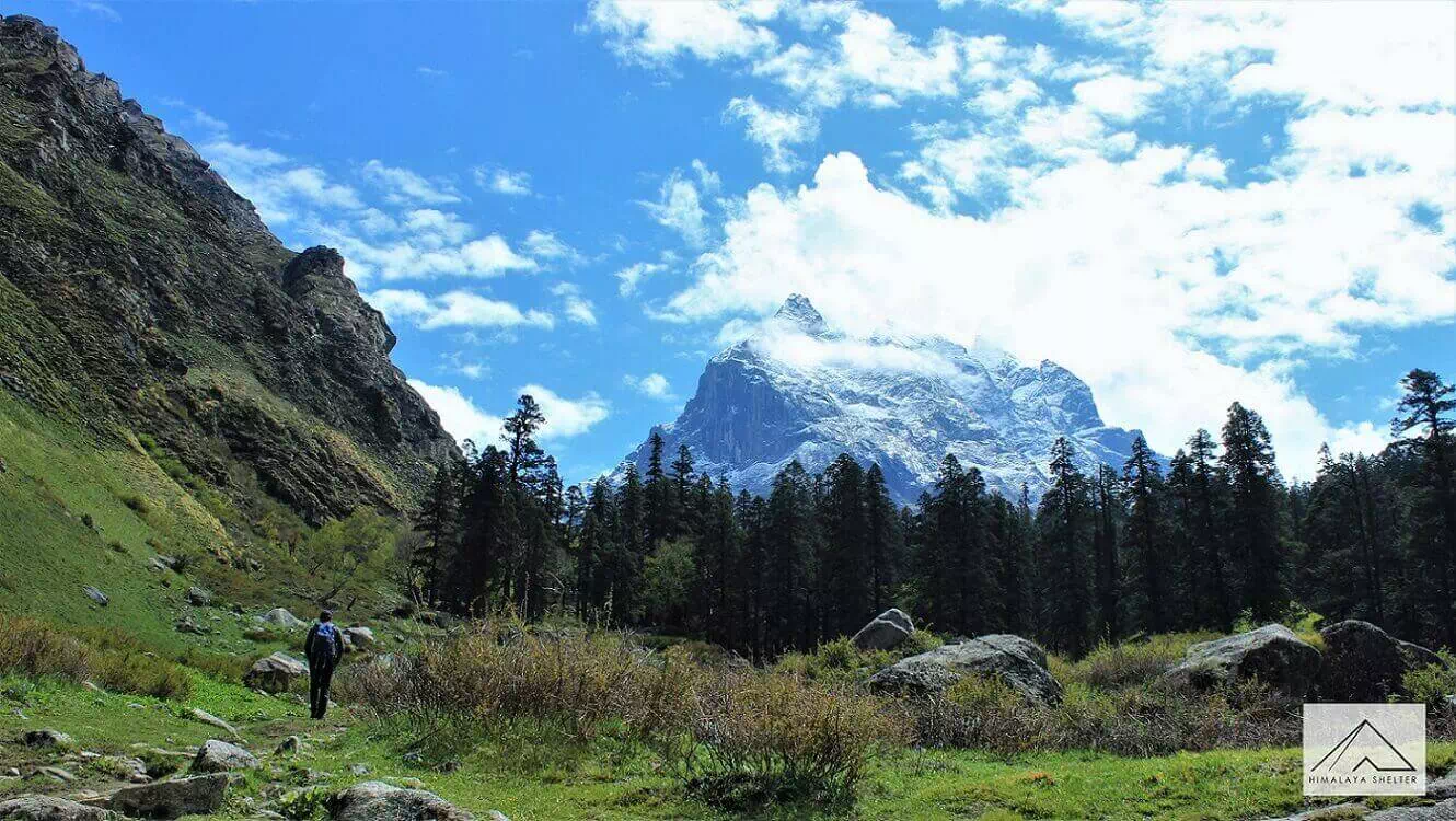
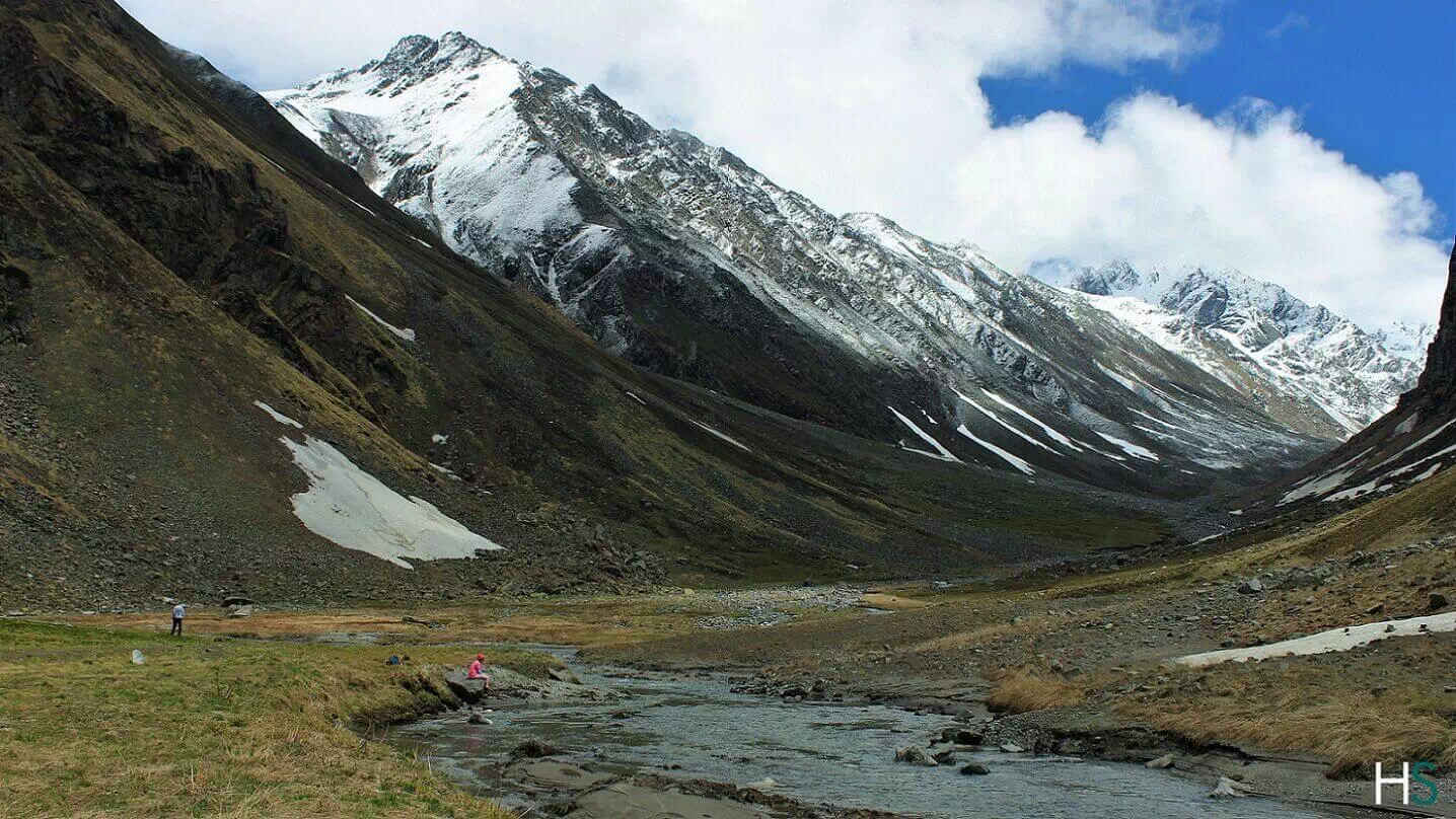
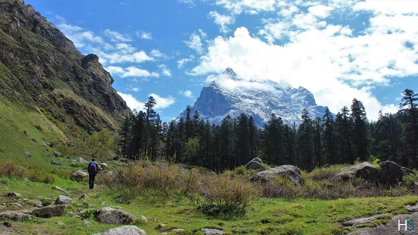
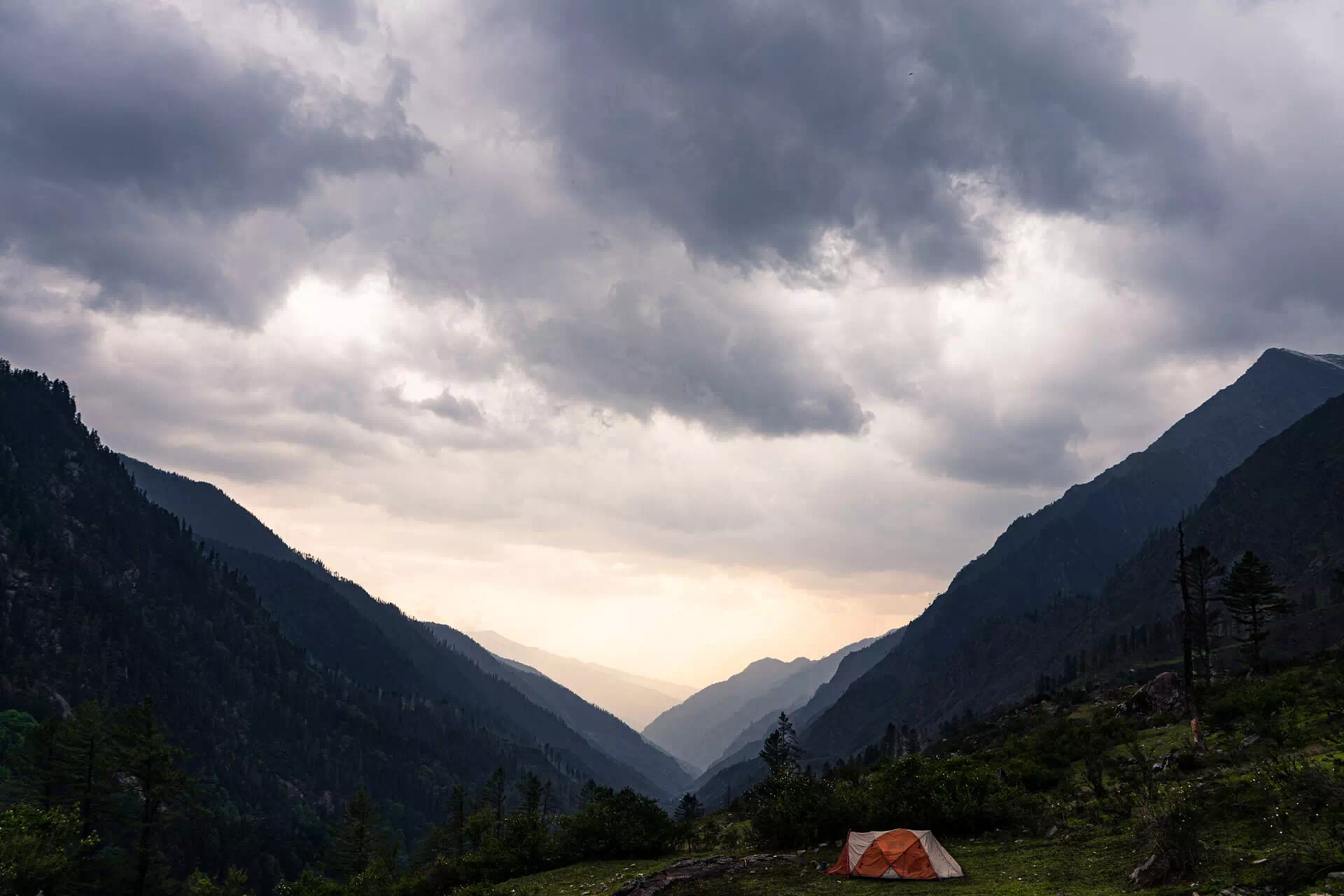
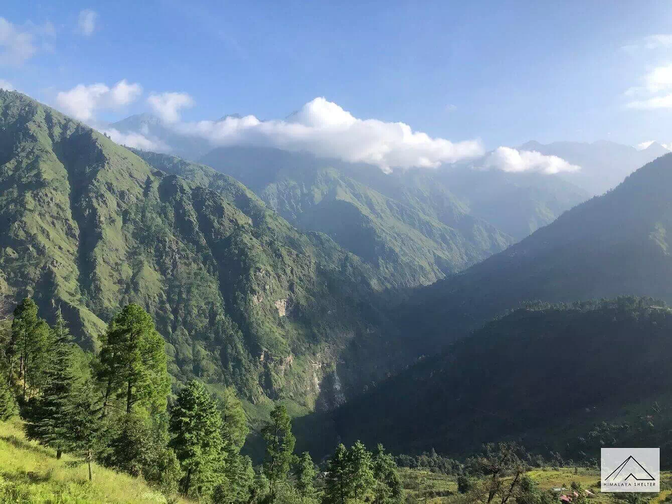
The beautiful valley with Swargarohini peak obscured in the clouds rising high
We start the journey early from Dehradun and drive initially to the famous hill station of Mussoorie. After just over 100 km, we pass close to the temple of Lakhamandal. According to locals, Duryodhana of the epic Mahabharata conspired to burn the Lakshagriha house of the Pandavas in this area. Damta, Purola, Mori and Netwar are some of the other villages on the route. We follow the river Yamuna upstream. The river Kamal Ganga merges with Yamuna near Naugaon and accompanies us till Purola. Purola is the last big settlement on the route with a large market. So, it is recommended that the trekkers can buy anything they might have missed out by Purola itself. It also is the last village where most of the mobile networks work.
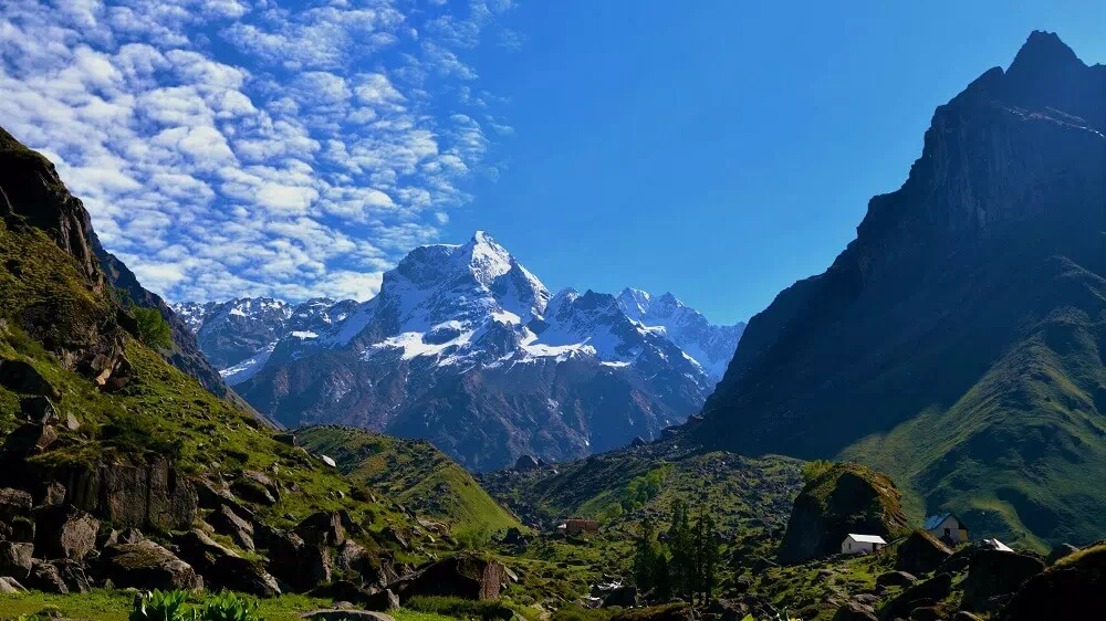
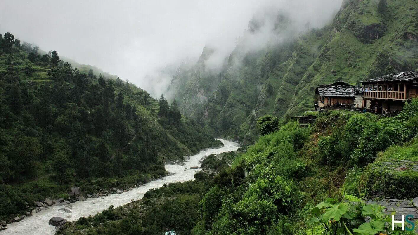
The drive after Purola is through a beautiful forest of pine trees. In some distance, on top of a hill we can see the Jawahar Navodaya Vidyalaya overlooking the valley. From near the village of Mori, the river Tons flows beside us till about Netwar. The fall in temperature can be felt from here. We officially enter Govind Pashu Vihar Wildlife Sanctuary after we cross a check post at Netwar. It can be considered the southern gateway to the sanctuary as most of the treks across the region are accessed from here onwards. The northern border of the sanctuary merges into Himachal Pradesh. Close to here, the rivers of Rupin and Supin merge to form Tons, which is the largest tributary of Yamuna and in fact larger than Yamuna itself, in terms of volume of flow. The peak of Kedarkantha can be seen from various points along the way from here.
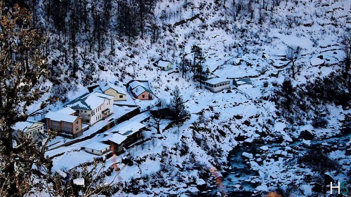
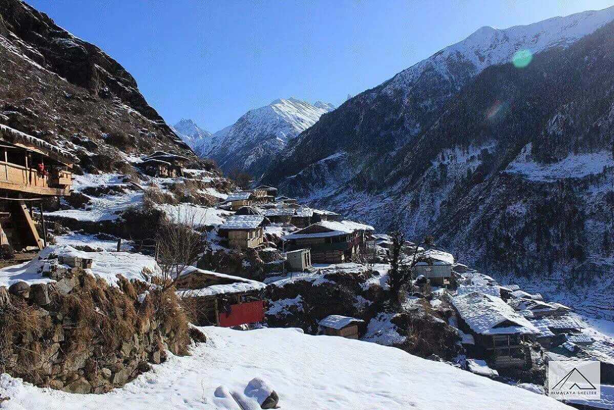
We reach Sankri by early evening. It is a small village with a central market lined with a few shops. The village has numerous apple orchards which are harvested starting from late summer. The market area is new compared to the old village area, a part of which is known as ‘Saud’. The village also produces peach, apricots and potatoes. One can see the Swargarohini peak from here on a clear day. We rest at night in a guest house or in camps.
Since, the journey is long, we start as early as we can in the morning. After breakfast we board an SUV and drive through a forest road. The drive is quite bumpy. The vehicle crosses one or two streams on the way. We reach Taluka in about an hour. It is a small village with a few shops and two Government guest houses. The trek commences from here on a stony path. The fragrance of cedar trees can be felt around Taluka. Sometimes during winters, or especially during periods with rather heavy spells of rain, the road to Taluka may be too dangerous for vehicles, as streams run across the road and thus one may be required to walk a stretch of around 8 km up to Taluka, albeit it is only occasional.
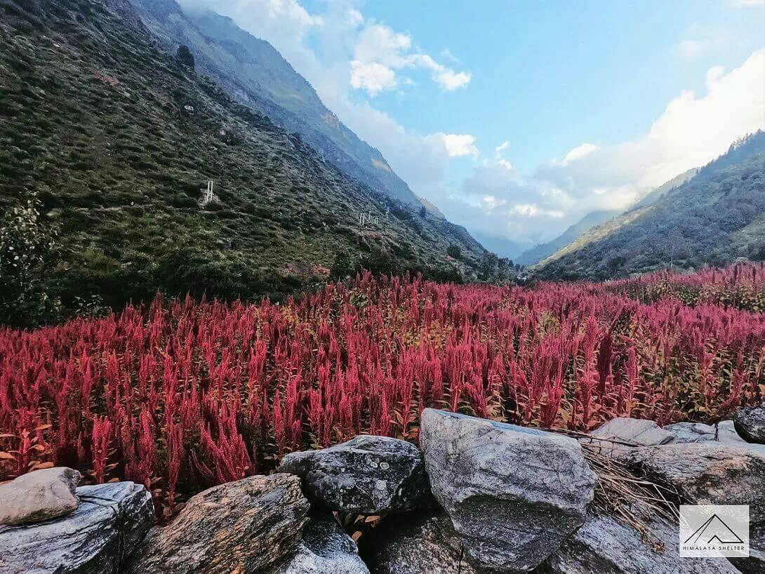
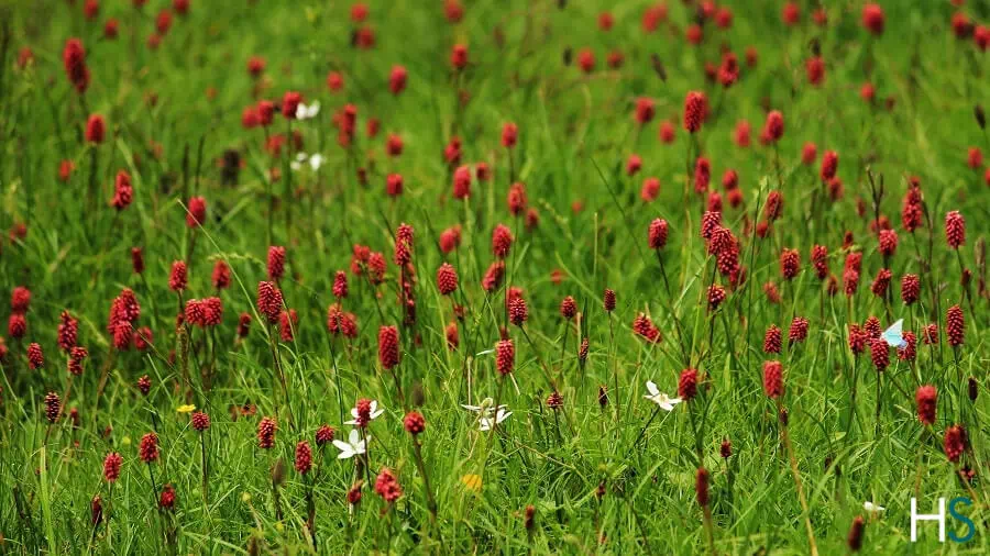
We walk close to the river Supin gushing through rapids. Under the shade of walnut, pine and cedar trees, the walk is quite pleasant. In autumn we can often find walnuts lying around. One must avoid “bichchu ghas” which literally translates to ‘scorpion grass’. A slight touch can give us stinging sensation which lasts for about twenty to thirty minutes. This herb is also cooked as a vegetable and eaten. Often the passing villagers greet us on the way. High up above on the true left, we get to see the village of Datmer. It is lined by series of step farms. The farms have the bright red colored Cholai growing from late monsoon to early autumn.
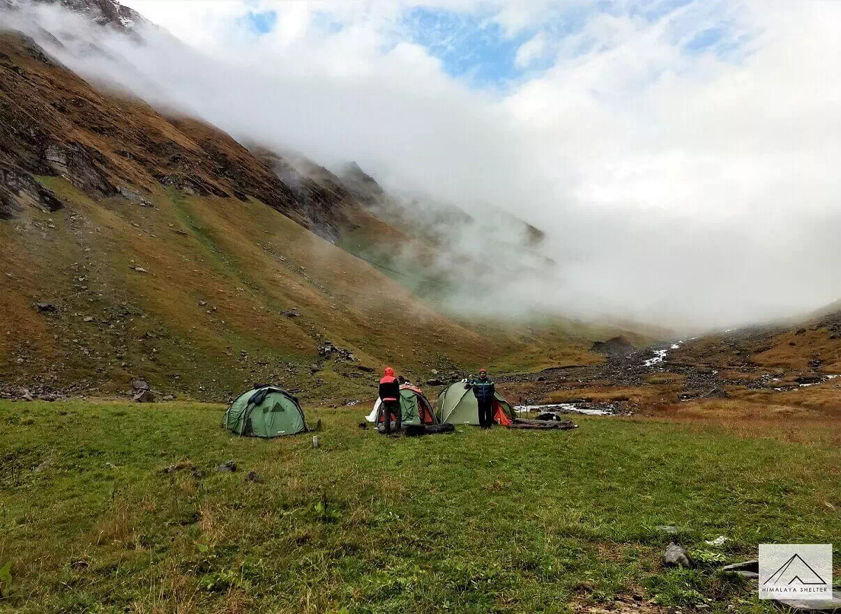
The path crosses over a few streams which merge with Supin. After a few hours of walk the village of Gangad can be seen towards the left, across the river. It is possible to come across a yellow throated marten in the forests of this area. We can also find edible fruits of seabuckthorn. They are orange in color and grow in bunches. Also, known as ‘leh berries’, the juicy and sour fruits are a rich source of Vitamin C. We continue our trek and soon we reach the secluded campsite at Puani Garat.
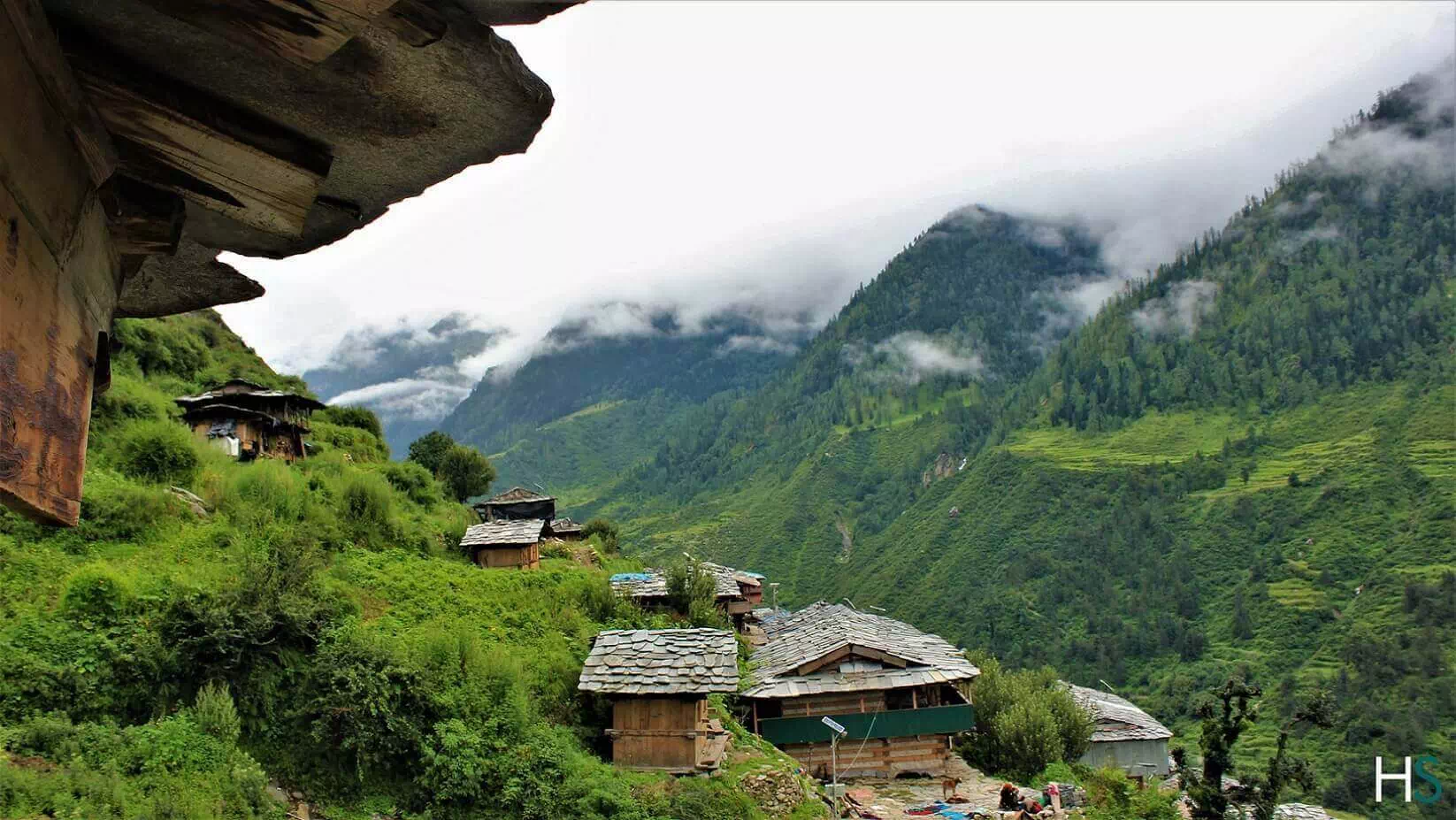
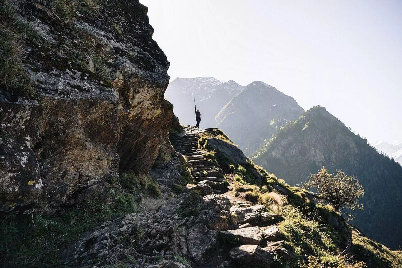
Today we start the day by heading up towards Osla village, which is located on a sloping spur about a hundred meters above the river Supin. The initial trail to Osla is the steepest section along the entire trek and can take 30-40 mins to cover. The landscape surrounding Osla is full of terraced farms. The colors of these lands differ in every season. The red farms of Cholai (Amaranth) look amazing and can be seen from late monsoon. This grain is a powerhouse with its rich nutritional values and a favorite among the locals. Apart from these Kidney beans in wide varieties are cultivated in the area. Osla is the last village on the route to Har ki Dun. From Osla the trail gradually rises higher and we cross a few fields, while the river can be seen far below. We come across a temple some distance below the trail towards the right. We pass through bushes of flowers like orchids, fleece flowers and sunflowers.
The journey today is rather short, which gives the opportunity to acclimatize to the high altitude and prepare for the next days journey. We can take a breather basking in the sun at the beautiful campsite of Kalkatidhar. The ban to camp at Har Ki Dun has had a rather positive outlook to the trekking itinerary, as it allows for more comfort & at the same time preserves the natural beauty of Har Ki Dun.
The days trek can be considered to be rather long as we today visit Har Ki Dun and Marinda Tal, a small lake formation due to the obstructing boulder across the river stream, which lies 2 KM further ahead of Har Ki Dun. As we start the trek, at a short distance a hidden and roaring waterfall is encountered with a small tea shop beside the waterfall.
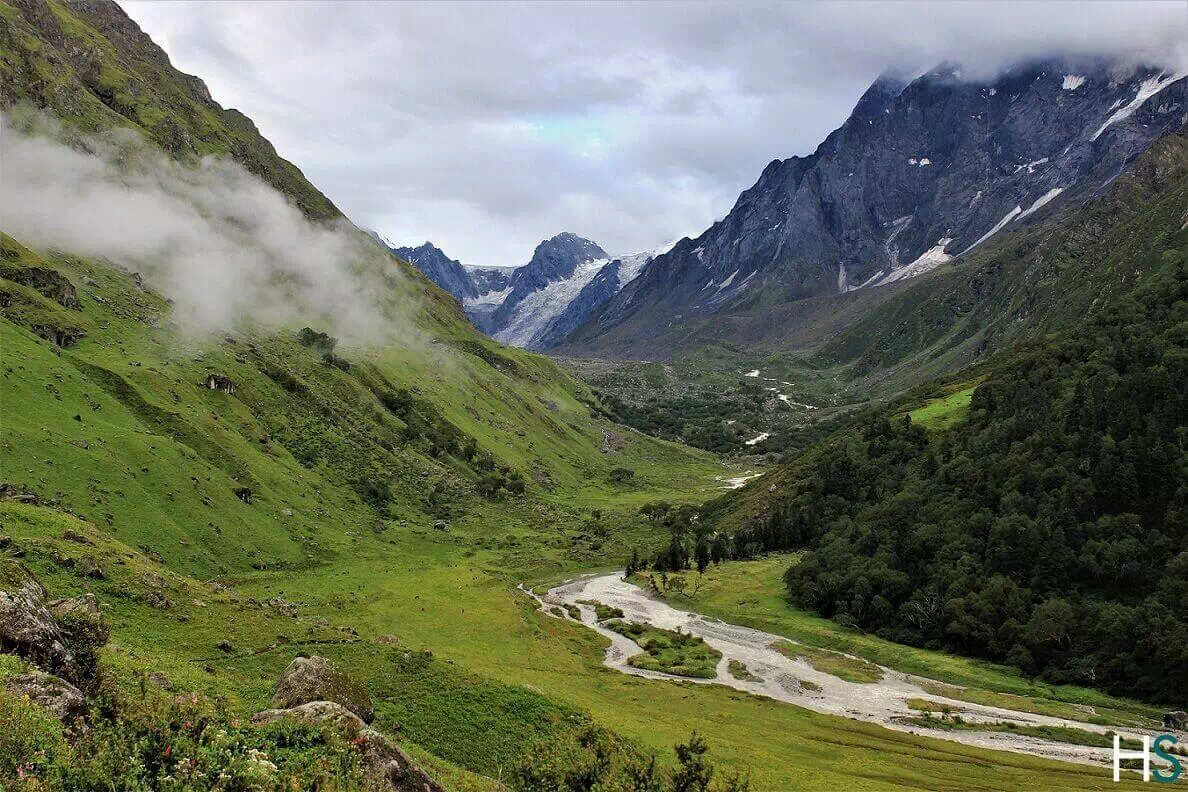
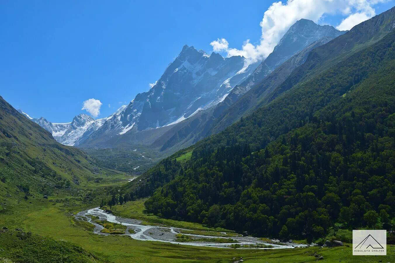
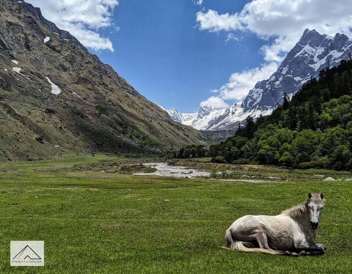
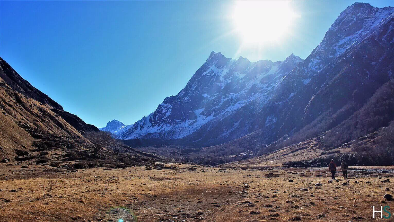
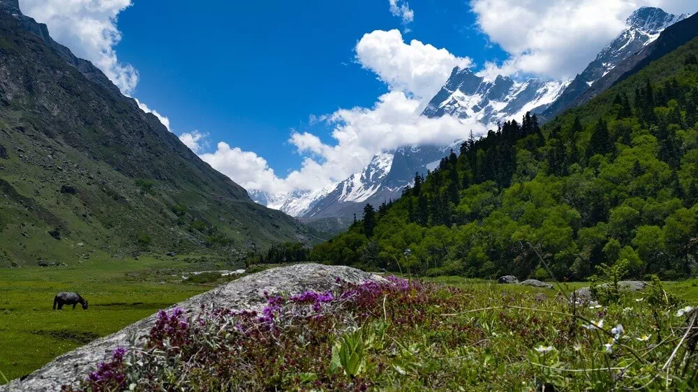
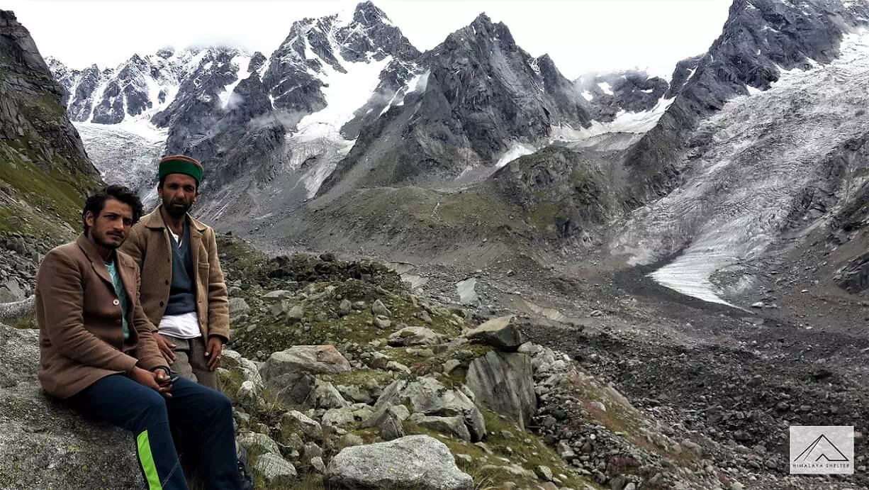
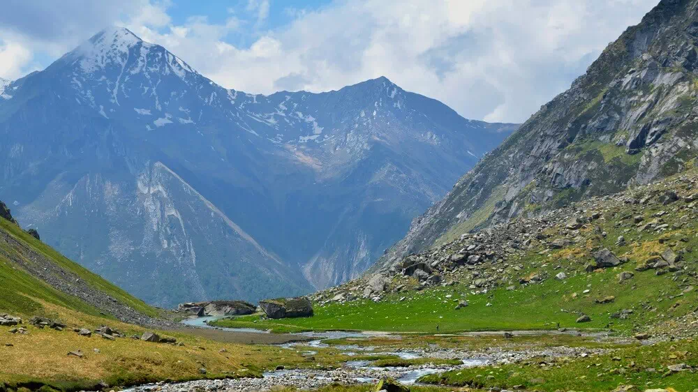
The ascending path climbs high above the confluence of Supin river and the river from Ruinsara valley. From near this confluence, we get a view of the snow-clad peaks of Ruinsara valley including Black Peak, the highest peak in the region. While towards north we can see the Har Ki Dun valley far in the distance. We can even spot the Forest hut at Har ki Dun from this point. After traversing higher up along the true right of the river, we enter the final stretch which is inside a forest. The forest opens up into the main camping area of Har ki Dun, right beside the gurgling stream. This is a very panoramic spot in Har ki Dun located at the junction of two valleys, one originating from Jaundhar glacier and the other from beyond Hata glacier. Higher up towards the North we can spot the Forest Rest House, while the wood crafted GMVN guest house lies further up in the distance. The Har ki Dun peak stands tall right in front of us behind the Forest Rest House. Towards its left, Hata peak which is usually snow covered can be seen. The minor ridge to our right, lined with a few scattered Himalayan birch trees Bhojpatra separates us from the massive Har Ki Dun valley that goes up all the way to the base of Swargarohini Peak. The paper like bark of these trees was used in ancient times to write religious scriptures.
The vast open meadows following the course of the Supin river can be explored. Further ahead of the meadows one can walk among the forests of Bhojpatra trees (Himalayan birch) or get a closer glimpse of the Jaundhar glacier and Swargarohini peak, for which we will have to head updwards the Har Ki Dun valley, towards the Swargaroini peak in the eastern direction.
We can choose to relax and soak in the environment for some time or we can continue our trek to Marinda Tal, in the north, just 2-3 km away from Har ki Dun. The trail is gradually ascending here. It is a small lake formed by a huge boulder obstructing the river which flows down from the base of the Borasu Pass.
After our short visit to Marinda Tal we make our return journey back to Kalkatidhar. We take the same route and it becomes much easier as its all downhill from here. We reach back by early evening and rest at the campsite.
The journey back to Osla is an easy walk. On the route we come across a good view of the trail all the way to Osla and see the valley descend towards Taluka, around the curve of the ridge where the two streams comng from Har Ki Dun and Ruinsara respectively, converge. A little short of this intersection we can get a glimpse of a trail to our left marked by a sight of a bridge down over the stream. This trail goes to join the trail to Ruinsara lake and is rarely taken. After reaching Osla, one can roam about in the village, talk to locals and soak in the Garhwali culture. We continue our journey from here to our earlier campsite of Puani Garat where we can spend time basking in the sun.
Early in the morning, post breakfast we set out from this beautiful abode as we start trekking through the same trail we trekked along on Day 1, towards Taluka. Although the views seem different as the perspective changes signficantly trekking downhill. The walk takes lesser time than before and is enjoyable. We walk to the true left of the River Supin until we finally arrive at Taluka, from where a vehicle takes us back to Sankri. We retire for the day in camp alongside the river or in a guest house in Sankri.
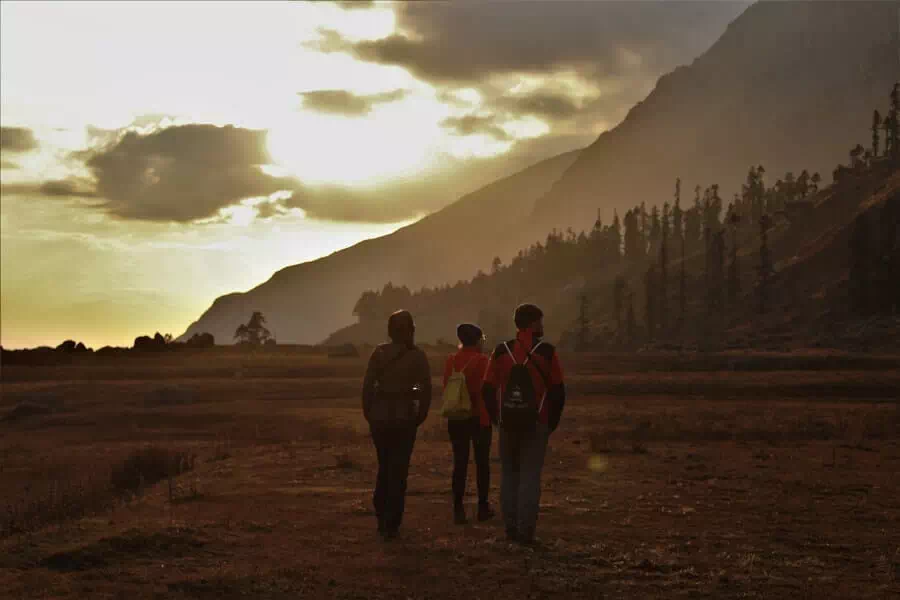
The trek to Har ki Dun concludes today as we leave Sankri. The drive upto Mori through the unique lesser touched regions is still amazing. The stretch right after crossing Mori town is still prettiest along the entire journey, albeit the new hydel project has put the fragile environs at increased risk in this area. Rafting and Kayaking which was earlier prevalent here, is no longer feasible. Regardless the beauty of the region remains to a significant degree. After crossing the towns and finally Kempty-Mussoorie, we reach Dehradun by late afternoon or early evening.
Har Ki Dun trek in terms of the trail is rather easy, as the ascent is very gradual and has only a couple of short sections which are slightly steep. The only challenge is the distance and we have to walk more than 10 km a day on 4 of the 5 trekking days. It can be done by families with children above 10 years of age.

Reviews
There are no reviews yet.